Walking through villages, valleys, and historic towns of the Cotswolds
The Cotswold Way follows the western edge of the Cotswolds National Landscape, running from Chipping Campden in Gloucestershire to the city of Bath in Somerset. The route traces the line of the Cotswold escarpment, offering long, elevated sections with wide views across surrounding farmland and river valleys.
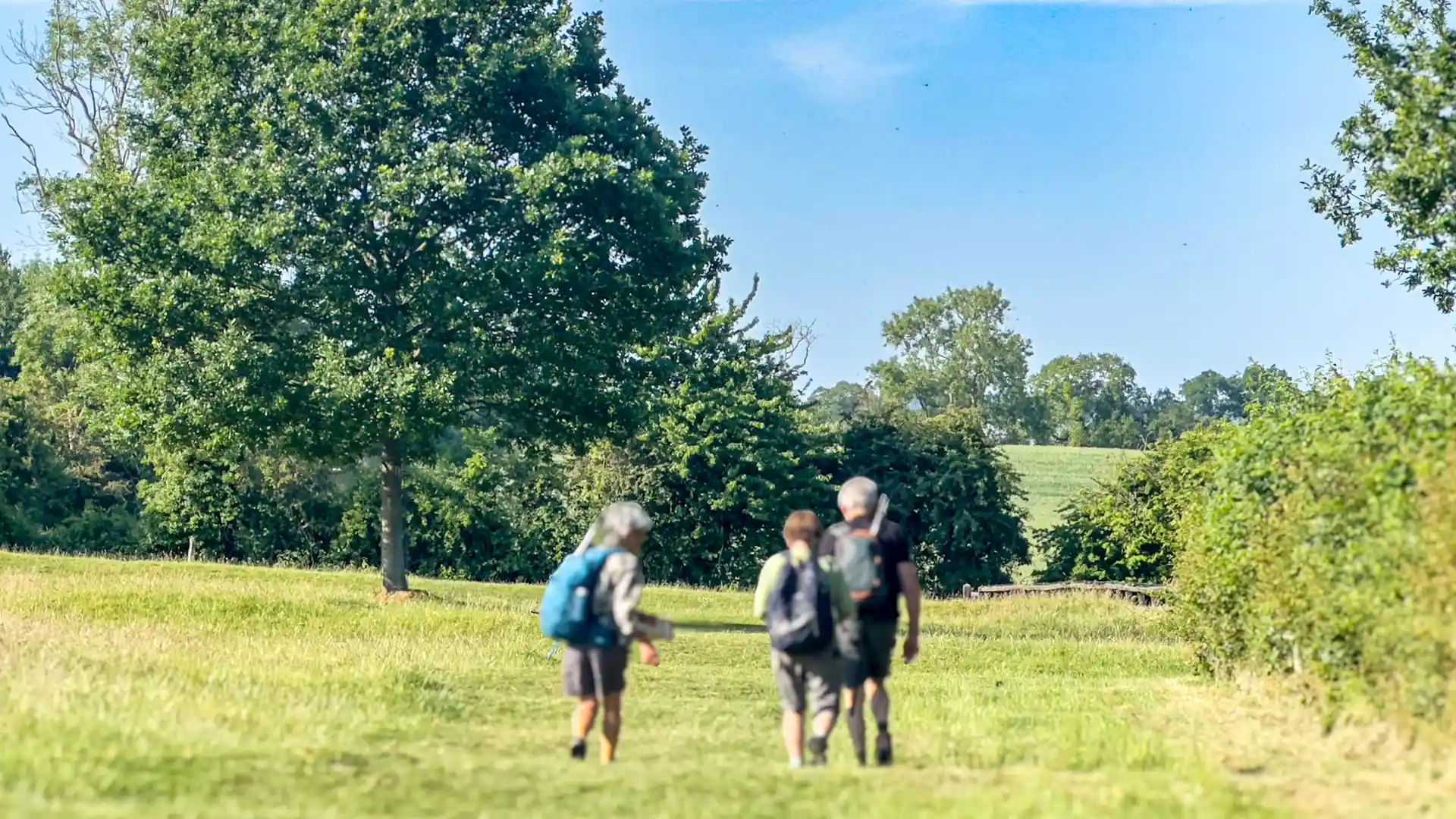
Walking here is shaped by steady movement rather than difficulty. The path rises and falls gently along the escarpment, alternating open ridge walking with woodland paths and quieter valley descents. Views across the Severn Vale appear regularly, while beech woods, open commons, and rolling fields bring variety and shelter.
The trail is closely tied to settlement and history. Market towns, villages, and churches appear naturally along the route, many built from the region’s distinctive golden stone. Iron Age hill forts, Roman remains, and long-established farming landscapes give the walk a strong sense of continuity between land and people.
The southern end of the route descends into Bath, part of the City of Bath UNESCO World Heritage Site, marking a shift from rural escarpment to historic urban landscape. This transition reinforces one of the defining qualities of the Cotswold Way: a journey that connects countryside, villages, and city through a single, coherent line.
The appeal of the Cotswold Way lies in its balance. It offers enough elevation and distance to feel purposeful, while remaining accessible and well connected, making it one of England’s most approachable long-distance routes for walkers seeking landscape, history, and a steady daily rhythm.
Trail Overview
Distance
Approximately 102 miles / 164 km
Typical time on foot
7–10 days
Start
Chipping Campden, Gloucestershire
Finish
Bath, Somerset
Terrain
Escarpment paths, open farmland, woodland tracks, valleys, and historic towns
