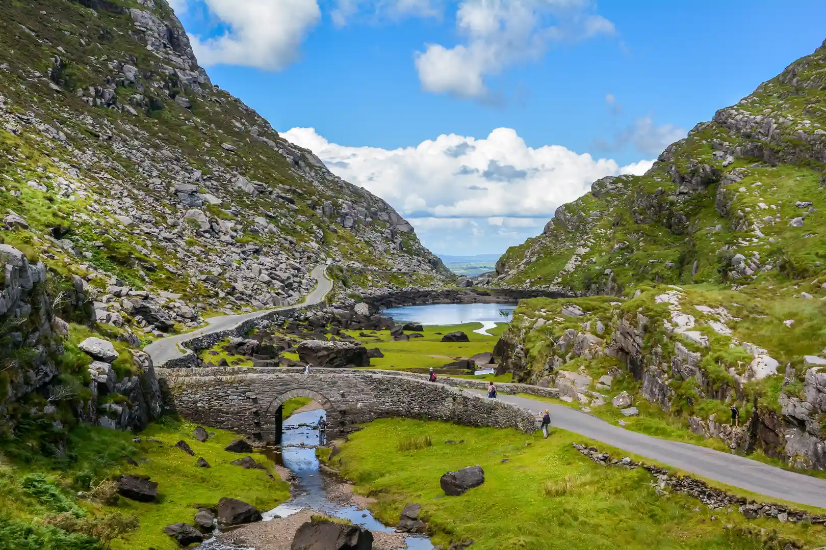
Mountains, Atlantic Shores, and Ireland’s Longest Waymarked Trail
The Kerry Way is a 133-mile (214 km) long-distance walking trail that circles the Iveragh Peninsula in County Kerry. Beginning and ending in Killarney National Park, it is Ireland’s longest waymarked route, following old droving paths, mountain passes, and coastal tracks through some of the most spectacular scenery in the country.
Offering a quieter alternative to the Ring of Kerry road, the trail passes through glacial valleys, wild Atlantic headlands, oak woodlands, fishing villages, and the foothills of the MacGillycuddy’s Reeks, Ireland’s highest mountains. Along the way, walkers are treated to sweeping views of Dingle Bay, Valentia Island, and even Skellig Michael, a UNESCO World Heritage Site.
For walkers, the Kerry Way combines rugged adventure with cultural discovery — from 6th-century monasteries and medieval castles to welcoming towns and villages where traditional music and warm hospitality await.
Trail Overview
- Type: National Waymarked Trail
- Distance: 133 miles (214 km)
- Start/End: Killarney, County Kerry
- Time Required: 9–11 days
- Terrain: Mountain paths, bogland tracks, coastal trails, farmland, forest, and quiet roads
- Difficulty: Moderate to challenging — long days with ascents, but well-waymarked
- Accessibility: Easy to split into stages with towns and villages for overnight stays
Explore the Route
Killarney to the Black Valley
The trail begins in Killarney National Park, with lakeside walking past Muckross House, Torc Waterfall, and oak woodlands before entering the remote Black Valley.
Black Valley to Glencar
Mountain passes and quiet tracks lead through the heart of the MacGillycuddy’s Reeks, with wild glens and dramatic uplands.
Glencar to Glenbeigh
Crossing bogland and ridges, the trail meets the Atlantic at Glenbeigh with views over Rossbeigh Strand and Dingle Bay.
Glenbeigh to Cahersiveen and Waterville
Clifftop paths, coastal headlands, and fishing villages define this stage, with views across to Valentia Island and the Skelligs.
Waterville to Sneem
A varied section combining sandy bays, mountain foothills, and historic sites such as Derrynane House, home of Daniel O’Connell.
Sneem to Kenmare and back to Killarney
Gentler estuary and woodland walking leads through Sneem and Kenmare before climbing back into Killarney National Park to complete the loop.
Stay and Explore
- Towns & Villages: Killarney, Glenbeigh, Cahersiveen, Waterville, Sneem, Kenmare
- Accommodation: Guesthouses, B&Bs, hostels, and country hotels along the route
- Food & Drink: Traditional pubs, seafood in coastal villages, and hearty Irish fare in market towns
- Culture & Heritage: Castles, monasteries, ogham stones, and living Gaelic traditions
Adventure Highlights
- Ireland’s longest waymarked trail — 133 miles around the Iveragh Peninsula
- Start and finish in Killarney National Park, a UNESCO Biosphere Reserve
- Remote Black Valley and MacGillycuddy’s Reeks
- Seascapes over Dingle Bay, Valentia Island, and the Skelligs
- Fishing villages with live music and Irish culture
- A slower, quieter alternative to the Ring of Kerry

