Tidal creeks, wide beaches, and slow coastal journeys along England’s eastern shore
Stretching along the full sweep of Norfolk’s coastline, the Norfolk Coast Path follows the shifting boundary between land and sea from Hunstanton to Hopton-on-Sea. The route moves through beaches, dunes, saltmarsh, and low cliffs, linking working villages, nature reserves, and traditional seaside towns within the Norfolk Coast National Landscape. Access to the route is straightforward, with arrivals via King's Lynn at the western end on Great Northern services from London King's Cross, and departures near Great Yarmouth toward the eastern end via Greater Anglia connections through Norwich.
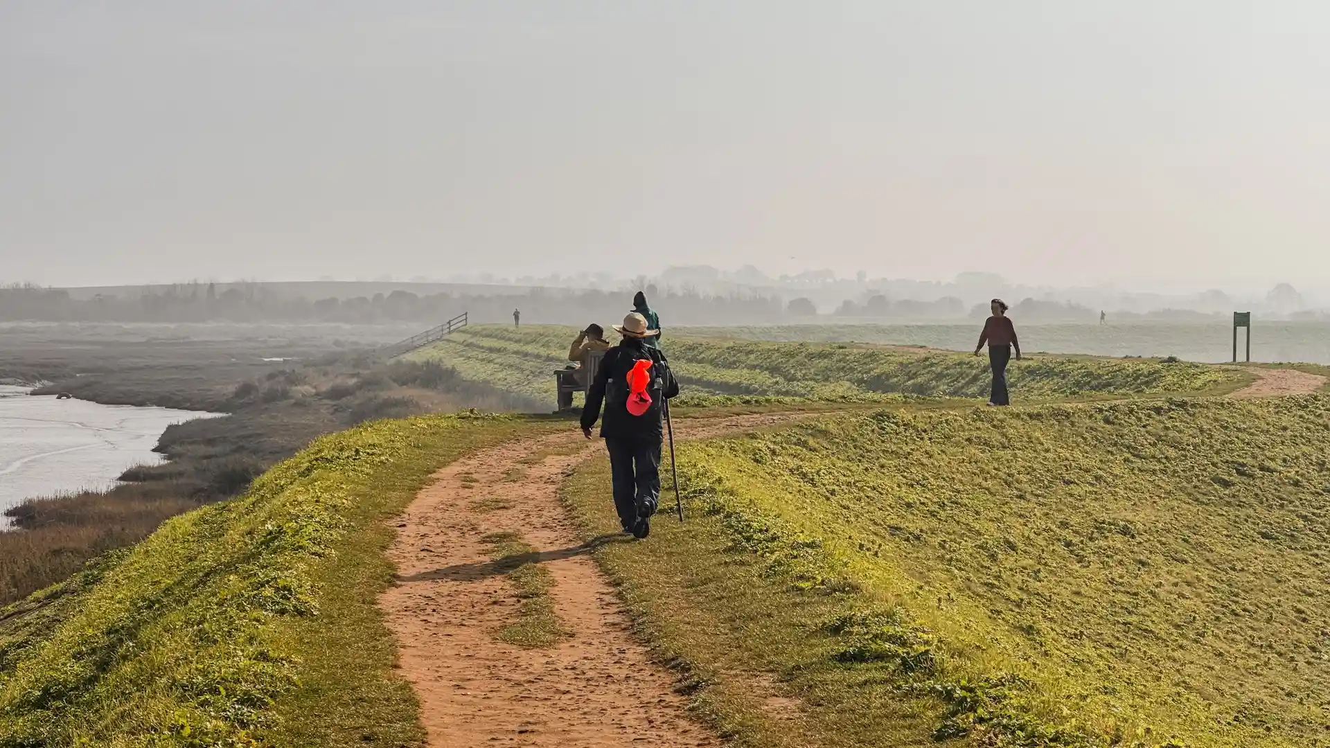
Walking here is shaped by space and movement rather than difficulty. The terrain is generally flat and forgiving, allowing attention to settle on changing light, weather, and tide. Long horizons open out across saltmarsh and sea, while quieter inland sections pass through farmland and pinewoods set back from the shore. The sense of progress comes from distance and continuity, not ascent or technical challenge.
Human presence feels woven into the landscape rather than imposed upon it. Fishing harbours, village greens, and seaside promenades appear naturally along the route, offering places to pause without breaking the rhythm of the walk. The trail often feels social and open, particularly around popular coastal towns, yet never crowded for long, with quieter stretches returning quickly between settlements.
One of the defining features of the Norfolk Coast Path is its relationship with other routes. At Holme-next-the-Sea, it connects directly with the Peddars Way, creating a continuous inland-to-coast journey that moves from Roman road and heathland to open beach and sea air. For many walkers, this transition marks a memorable shift in both landscape and atmosphere.
The appeal of the Norfolk Coast Path lies in its accessibility and variety. It is a route that welcomes long-distance newcomers while still rewarding experienced walkers, offering a clear, well-marked line through a coastline shaped by tide, light, and long-established coastal life.
Trail Overview
Distance
Approximately 84 miles / 135 km
Typical time on foot
6–8 days
Start
Hunstanton, Norfolk
Finish
Hopton-on-Sea, Norfolk
Terrain
Coastal paths, beaches, dunes, saltmarsh, low cliffs, villages, and quiet lanes

