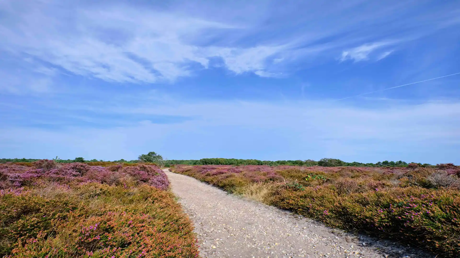
Saltmarsh air, shingle beaches, and quiet beauty along East Anglia’s tidal edge
The Suffolk Coast Path is a long-distance walking route following the shifting shoreline of Suffolk in East Anglia between Felixstowe and Lowestoft. Designed for self-guided travel, it links coastal landscapes and places through estuaries, heathland, marsh, and open shore, tracing a low-lying edge where land and sea continually reshape one another.
Walking here is defined by gentleness and space rather than effort. The terrain is largely flat, with soft tracks, sea walls, and beach paths that allow steady progress at an unhurried pace. Wide skies, tidal water, and the changing texture of the coast create a strong sense of continuity, where the rhythm of the day is shaped more by light and weather than elevation.
The character of the route shifts subtly as it moves north. Estuaries widen and narrow, shingle banks give way to heath and farmland, and small settlements appear at intervals along the shore. Places such as Orford, Aldeburgh, Dunwich, Walberswick, and Southwold sit lightly within the landscape, connected by paths that often feel remote despite their proximity to the sea.
Wildlife is a constant presence. Marshes and reedbeds support waders and migrating birds, while quiet stretches of shoreline and reserve create long sections where the only sounds are wind, water, and distant calls overhead.
The appeal of the Suffolk Coast Path lies in its calm. It is a route that rewards patience and attention rather than speed, offering a slow walk through one of England’s most distinctive coastal landscapes.
Trail Overview
Distance
60 miles / 96 km
Typical time on foot
4–6 days
Start
Felixstowe, Suffolk
Finish
Lowestoft, Suffolk
Terrain
Sea walls, estuary paths, marshland tracks, heathland, beach sections, and quiet lanes

