
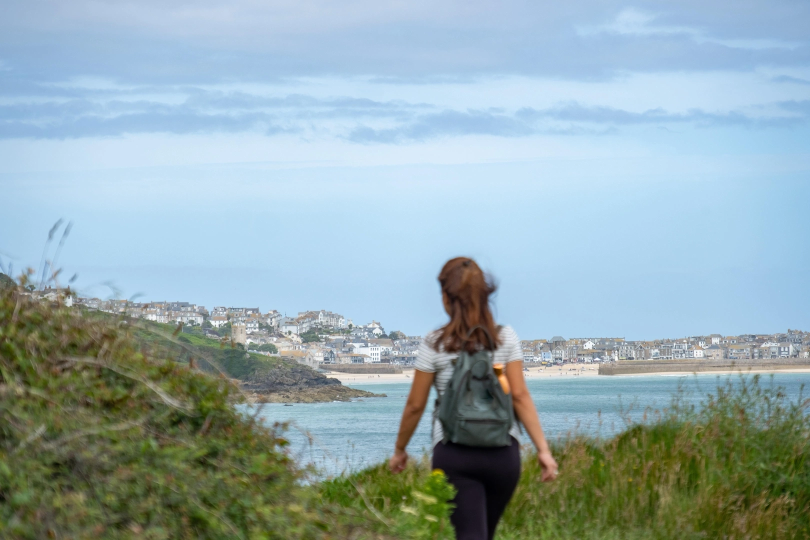
Granite headlands, sandy bays, and exposed Atlantic coastline
St Ives sits on the north coast of Cornwall between Hayle and Zennor, directly on the South West Coast Path within Cornwall National Landscape. The trail passes through the town along the harbour front and beaches before climbing onto open headlands, linking St Ives with Carbis Bay to the east and the more rugged Penwith coast to the west.
The settlement wraps around a small working harbour and a series of sandy beaches including Porthminster, Porthgwidden, and Porthmeor. Terrain changes quickly from level quayside walking to steeper clifftop paths on granite headlands. West of the town, the route becomes narrower and more uneven, with rock steps and exposed sections above the Atlantic.
St Ives functions as a well-serviced stop on the coast path. There are food shops, cafés, pubs, galleries, public transport connections, and a wide range of places to stay. A branch railway connects the town with St Erth on the main line, making it one of the easiest access points on this stretch of coast.
From the harbour, the South West Coast Path continues east on a largely level section past Carbis Bay toward the Hayle Estuary. Westward, the trail climbs steadily toward Clodgy Point and Zennor Head, following more exposed and remote clifftop ground with longer gaps between settlements.
Check availability
Select your dates to check current availability and prices.