Clifftops, coves, and a long journey shaped by the Atlantic
The Cornwall section of the South West Coast Path follows the Atlantic edge of England, much of it running through the Cornwall National Landscape, where protected coastline, working fishing communities, and exposed headlands shape the character of the route.
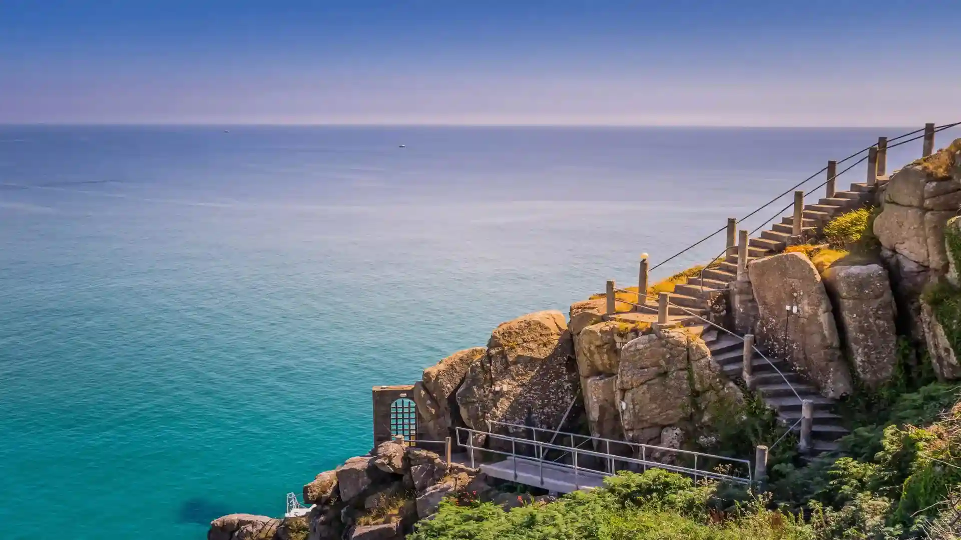
Walking here is defined by repetition and effort rather than distance alone. The path rises and falls relentlessly as it follows the natural line of the coast, dropping to sea level at every cove before climbing again onto exposed headlands. Progress is measured in headlands passed rather than miles covered, with each day bringing a physical rhythm shaped by ascent, descent, and weather.
The landscape is varied but consistently coastal in character. On the north coast, sheer cliffs and open horizons dominate, passing places such as Boscastle, Tintagel, and Port Isaac. Further west, the route reaches some of its most dramatic sections between St Ives and Zennor, where granite cliffs meet open Atlantic swell. Around Land’s End and the Lizard Peninsula, maritime heath, turquoise coves, and exposed headlands define the walking.
Along the south coast, the path softens slightly, following river estuaries, wooded creeks, and sheltered harbours through places such as Falmouth, Mevagissey, and Looe. Despite this gentler appearance, the elevation change remains constant, reinforcing the demanding nature of the route.
The appeal of the Cornwall Coast Path lies in its intensity. It is a route that rewards commitment, offering immersion in one of England’s most powerful coastal landscapes, where weather, light, and sea shape both the walking and the experience of place.
Trail Overview
Distance
Approximately 300 miles / 480 km (Cornwall section)
Typical time on foot
15–25 days (often walked in sections)
Start
Marsland Mouth, near Bude
Finish
Plymouth (River Tamar)
Terrain
Clifftop paths, steep ascents and descents, beaches, estuaries, harbours, headlands
