
Where medieval routeways cross a patchwork of valleys, farms, and forests.
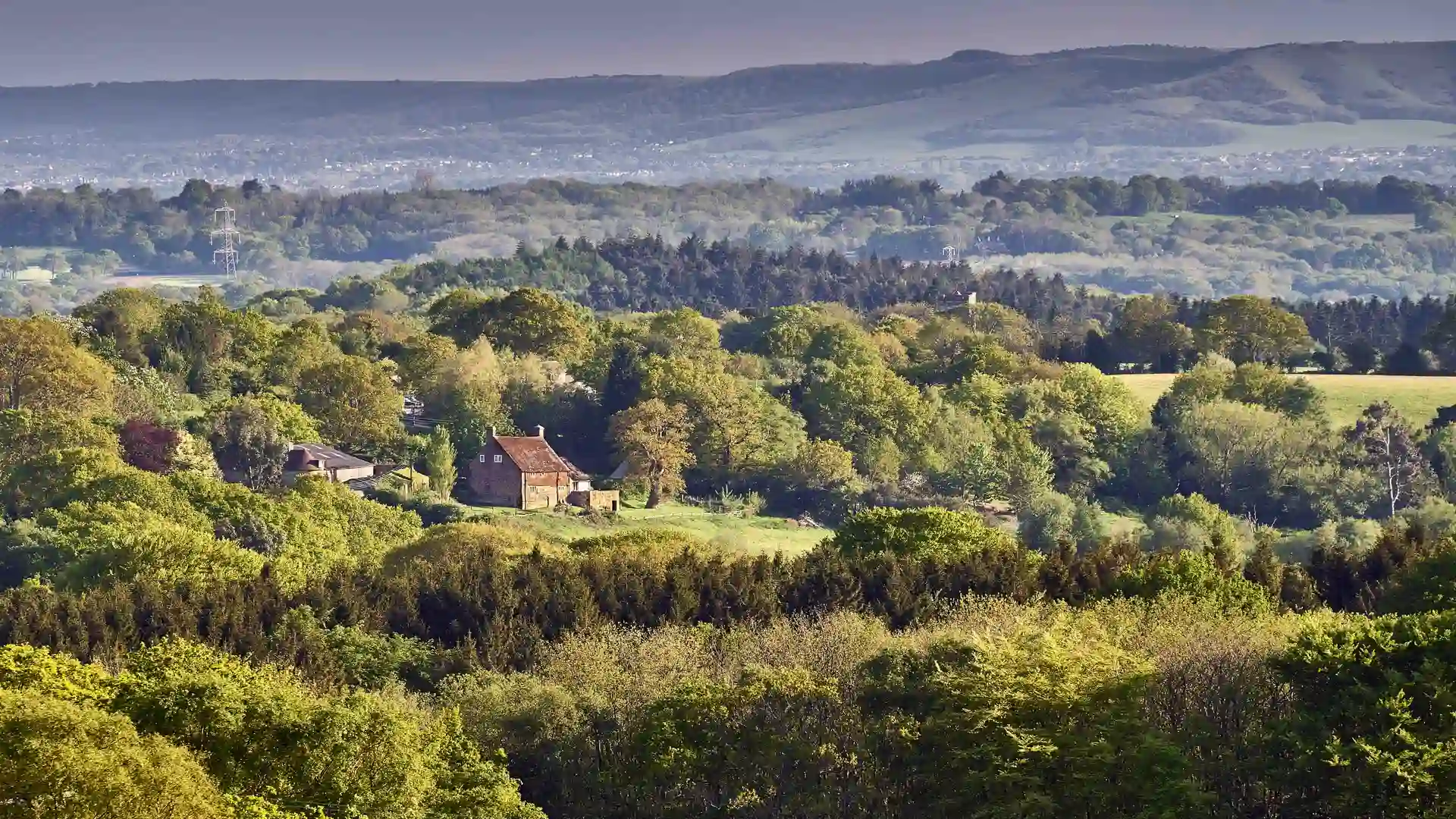
The High Weald National Landscape, spanning Kent, East Sussex, and West Sussex, is one of England’s most characterful countryside areas for walking holidays and outdoor adventures. Designated for its medieval landscape pattern, it’s defined by rolling sandstone ridges, ancient woodlands, small irregular fields, and historic farmsteads. Unlike open chalk downs, the High Weald offers an intimate, richly textured landscape full of hidden valleys and winding paths.
Walking here might mean following old drovers’ routes, exploring bluebell woods in spring, or discovering villages like Rye, Cranbrook, and Hartfield. With its ridges, deep ghyll valleys, and ancient woodlands, the High Weald is a place for slower exploration, rewarding those who wander off the beaten track.
High Weald Landscape Trail
A 90-mile route across the National Landscape, linking Horsham with Rye and showcasing ridges, woods, and medieval settlements.
1066 Country Walk
A historic trail between Pevensey and Rye via Battle Abbey, tracing the footsteps of the Norman Conquest.
Wealdway
A 79-mile trail running from Gravesend on the Thames to Eastbourne, crossing the High Weald on its way to the coast.
Forest Way
A 10-mile rail trail through the High Weald between East Grinstead and Groombridge, ideal for walking and cycling.
The High Weald Landscape Trail is the best-known long-distance walk, crossing the area from west to east.
Yes — it runs through the southern part of the landscape, linking Pevensey, Battle, and Rye.
Yes — train stations at Tunbridge Wells, Battle, Rye, and East Grinstead connect directly to walking trails.
The High Weald is a more enclosed, wooded, and intimate landscape, shaped by medieval farming, compared to the open chalk ridges of the Downs.
Spring for bluebells and woodland colour, summer for farmland trails, autumn for rich woodland hues, and winter for crisp ridge views.