National Trail in South West Wales Clifftop Walks, Hidden Coves, and Coastal Freedom
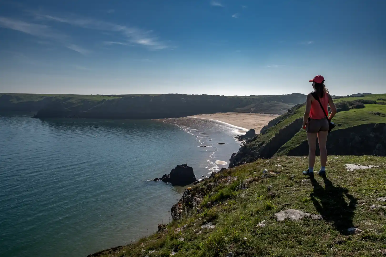
The Pembrokeshire Coast Path is one of Britain’s most celebrated long-distance trails — a 186-mile (299 km) journey along the rugged edge of Wales. Opened in 1975 as the UK’s first dedicated coastal walking route, it forms a spectacular section of the Wales Coast Path, winding through cliffs, beaches, and wildlife-rich headlands.
From St Dogmaels in the north to Amroth in the south, the path reveals the full drama of the Pembrokeshire Coast National Park — the only coastal national park in the UK. It’s a trail of wild beauty and constant variety, where every headland brings a new horizon.
Trail Overview
Type: National Trail (Coastal Path)
Distance: 186 miles / 299 km
Start/End: St Dogmaels – Amroth
Time Required: 12–17 days for the full route; excellent for shorter sections
Terrain: Coastal cliffs, beaches, coves, estuaries, and occasional inland valleys
Difficulty: Moderate to Challenging — frequent ascents and descents
Accessibility: Excellent bus and rail links; ideal for section walking or car-free holidays
Explore the Route
North Pembrokeshire (St Dogmaels to St Davids)
Dramatic cliffs, sea arches, and offshore islands. Look for seals, seabirds, and dolphins along the rugged coast near Newport, Fishguard, and Strumble Head.
St Davids Peninsula
Home to Britain’s smallest city and some of Wales’ finest scenery, including Whitesands Bay, St Justinian’s, and Ramsey Island viewpoints.
South Pembrokeshire (Broad Haven to Amroth)
Softer landscapes of coves, dunes, and beaches — including Barafundle Bay, Freshwater West, and Tenby’s colourful harbour.
Stay and Explore
Towns & Villages: St Davids, Newport, Solva, Broad Haven, Tenby, Saundersfoot
Accommodation: Coastal inns, boutique hotels, glamping pods, and eco-lodges
Food & Drink: Local seafood, Pembrokeshire lamb, harbourside cafés, and pubs with sea views
Nearby Trails: Preseli Hills, Landsker Borderlands Trail, Wales Coast Path
Adventure Highlights
- One of the UK’s most iconic National Trails — celebrating its 50th anniversary in 2025
- Crosses the Pembrokeshire Coast National Park, a haven for walkers and wildlife
- Frequent coastal buses for flexible section walking
- Spectacular beaches and clifftop scenery ideal for photography and slow travel
- Connects to other National Trails via the Wales Coast Path network
