Hunstanton, Norfolk – Coastal Town on the Norfolk Coast Path
Cliffs, open sea, and the start of the Norfolk Coast National Landscape
Hunstanton is a seaside town in West Norfolk on the Norfolk Coast Path, marking the official start of the route and overlooking the Wash within the Norfolk Coast National Landscape. From here, the trail begins its eastward journey along the edge of land and sea, linking coastal routes, landscapes, and places across the full sweep of the Norfolk coastline. The town is also one of the main access points to the route, with the nearest rail connection at King's Lynn railway station, served by Great Northern services to London King's Cross via Cambridge.
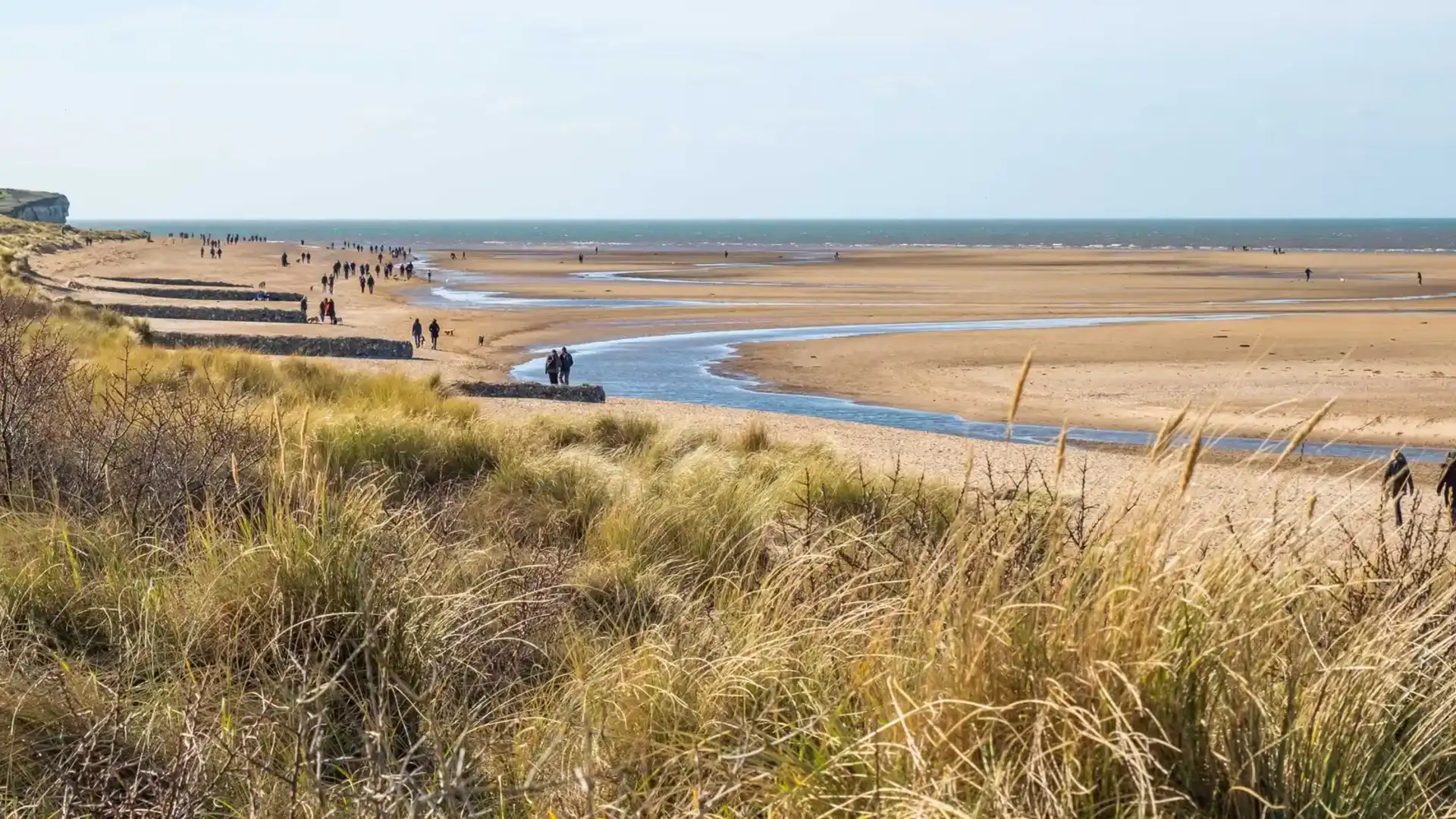
Arriving from Holme-next-the-Sea, where the Peddars Way meets the coast, the walking shifts from saltmarsh and open skies to clifftop paths, promenade walking, and open sea views along one of the most distinctive sections of the route.
The town is known for its striped cliffs, which rise directly above the shoreline and define this stretch of coast. Walking follows the edge of land and sea, with wide horizons across the Wash and a strong sense of exposure shaped by tide, weather, and light. The transition from inland route to open coast is clear and immediate, marking the beginning of the Norfolk Coast Path’s coastal character.
Hunstanton offers a full range of services for walkers. There are shops, cafés, places to eat and drink, and accommodation throughout the town, making it a practical starting point or base for exploring this section of the Norfolk Coast Path.
Leaving Hunstanton, the route continues east through Old Hunstanton and onward toward Holme-next-the-Sea, before following the coastline through beaches, dunes, saltmarsh, and nature reserves within the wider National Landscape. The built environment fades quickly, and the character returns to open coast and quieter, more remote stretches of shoreline.
Frequently Asked Questions
Is Hunstanton on the Norfolk Coast Path?
Is Hunstanton within the Norfolk Coast National Landscape?
Does the Peddars Way reach Hunstanton?
Is Hunstanton on the coast?
Is Hunstanton a good base for coastal walking?
Places to Stay
