Long chalk ridge through southern England, linking coast, hills, and lowland valleys
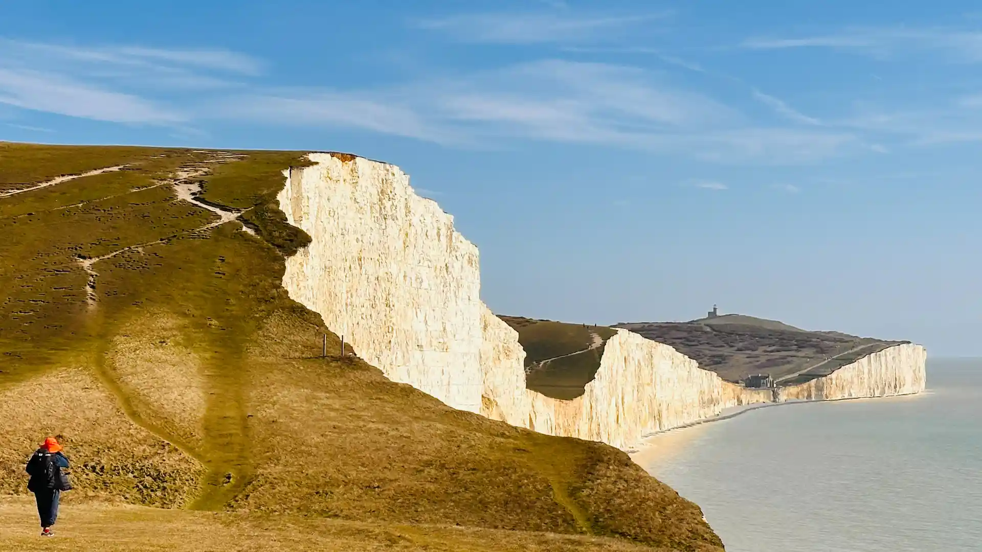
The South Downs Way follows a high chalk ridge across southern England, running from Winchester to the coastal city of Eastbourne. For much of its length, the trail stays high and open, offering wide views across farmland, river valleys, and the gentle folds of the South Downs National Park.
Walking here is shaped by rhythm and repetition. Long stretches of rolling downland rise and fall beneath an open sky, creating a steady cadence that rewards patience rather than speed. The chalk underfoot drains quickly, keeping the trail firm in most conditions, while the openness of the ridge gives a strong sense of direction and continuity.
The landscape feels deeply settled and human in scale. Ancient trackways trace the same contours as the modern path, passing Iron Age hill forts, old drove roads, and villages shaped by centuries of farming. Movement along the ridge is frequently balanced by descents into river valleys, where wooded slopes and water meadows offer moments of enclosure before the trail climbs once more to open ground.
Despite its proximity to towns and cities, the South Downs Way often feels surprisingly quiet. The length of the route allows walkers to move beyond busier access points, finding long, uninterrupted stretches of downland where space and horizon dominate. Villages and historic towns along the way provide natural pauses without disrupting the flow of the walk.
The appeal of the South Downs Way lies in its clarity. It is a route defined by line and landscape rather than complexity — a long, continuous ridge that connects coast and countryside, history and horizon, through steady movement on foot.
Trail Overview
Distance
Approximately 100 miles / 160 km
Typical time on foot
7–9 days
Start
Winchester, Hampshire
Finish
Eastbourne, East Sussex
Terrain
Chalk tracks, open ridges, rolling climbs and descents, river valleys, and quiet lanes
